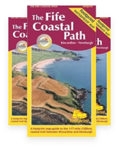
A handy, waterproof map breaking down the full Fife Coastal Path into eight sections. Stretching from Kincardine Bridge at th…
£10.95
196 in stock
Product Details
A handy, waterproof map breaking down the full Fife Coastal Path into ten sections. Stretching from Kincardine Bridge at the region’s western boundary to Newburgh in the north, the Fife Coastal Path is the country’s oldest and most popular coastal walk. The Fife Coastal Path map is based on OS data at a scale of 1:40,000 which gives a detailed guide of the entire 117 miles (188 km) of the Path.
The map is part of Stirling Surveys’ popular Footprint series. Stirling Surveys ensures a proportion of the map’s sale value goes to the Trust in order to help maintain the Path for its long-term sustainability and we thank them for their continued support.
Product details
Folded size: 225 x 120 mm (Flat sheet size 840 x 450mm)
Publisher: Stirling Surveys
ISBN: 978 1871149 99 9
Shipping Details
Shipping cost will be calculated based on your order and location at checkout.


